
Business
IMD Weather Today: The real monsoon surge is yet to come; new system forming in the Bay of Bengal..
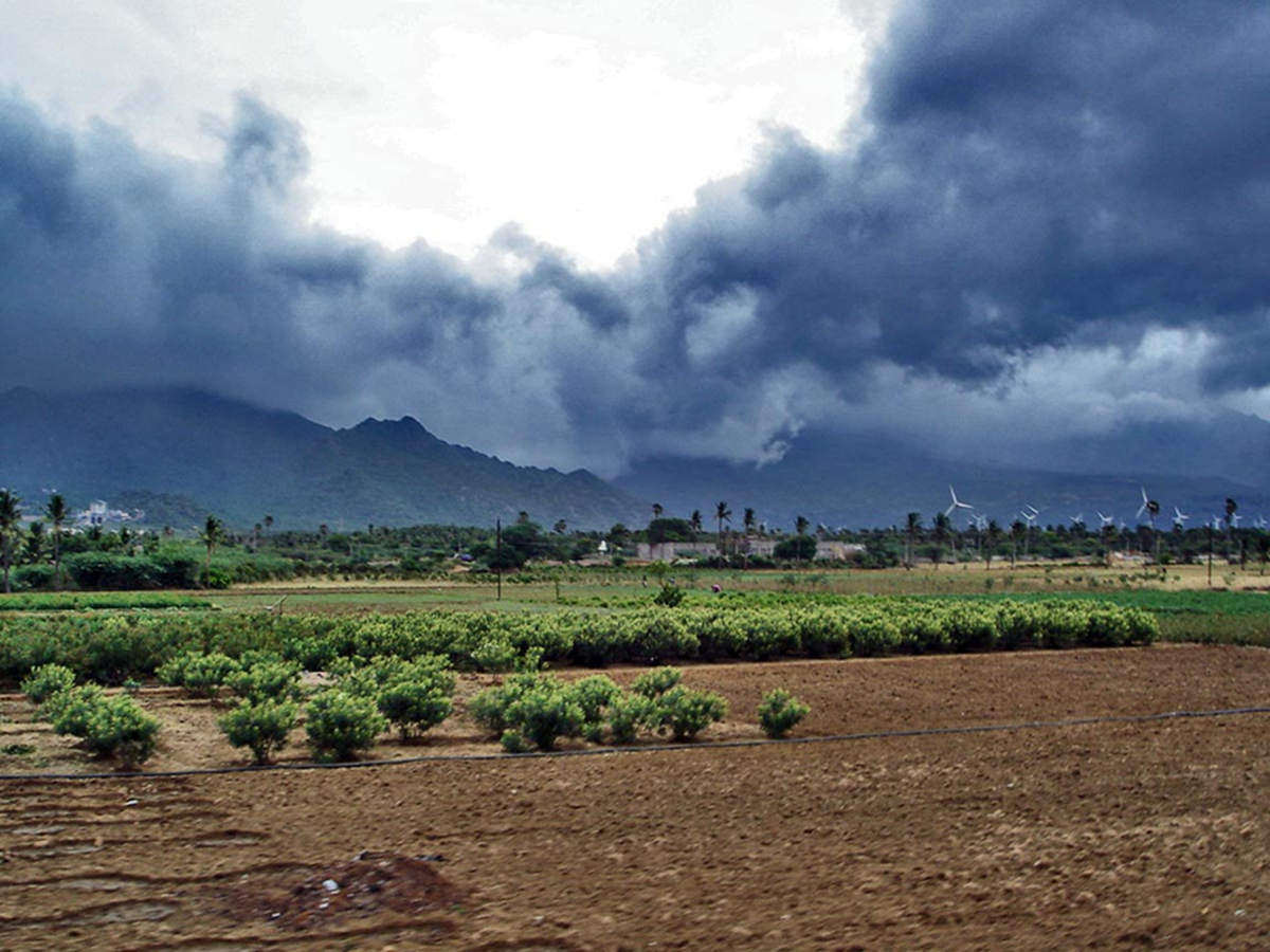
IMD Weather Today: The monsoon remains active across several parts of the country. Heavy rainfall is likely to continue over Central India and the eastern and northeastern states for the next few days. According to the Meteorological Department, isolated areas may experience heavy to very heavy rainfall this week. There is a strong possibility of heavy to very heavy rainfall at isolated places in East Rajasthan, Madhya Pradesh, Chhattisgarh, and Vidarbha over the next two days.
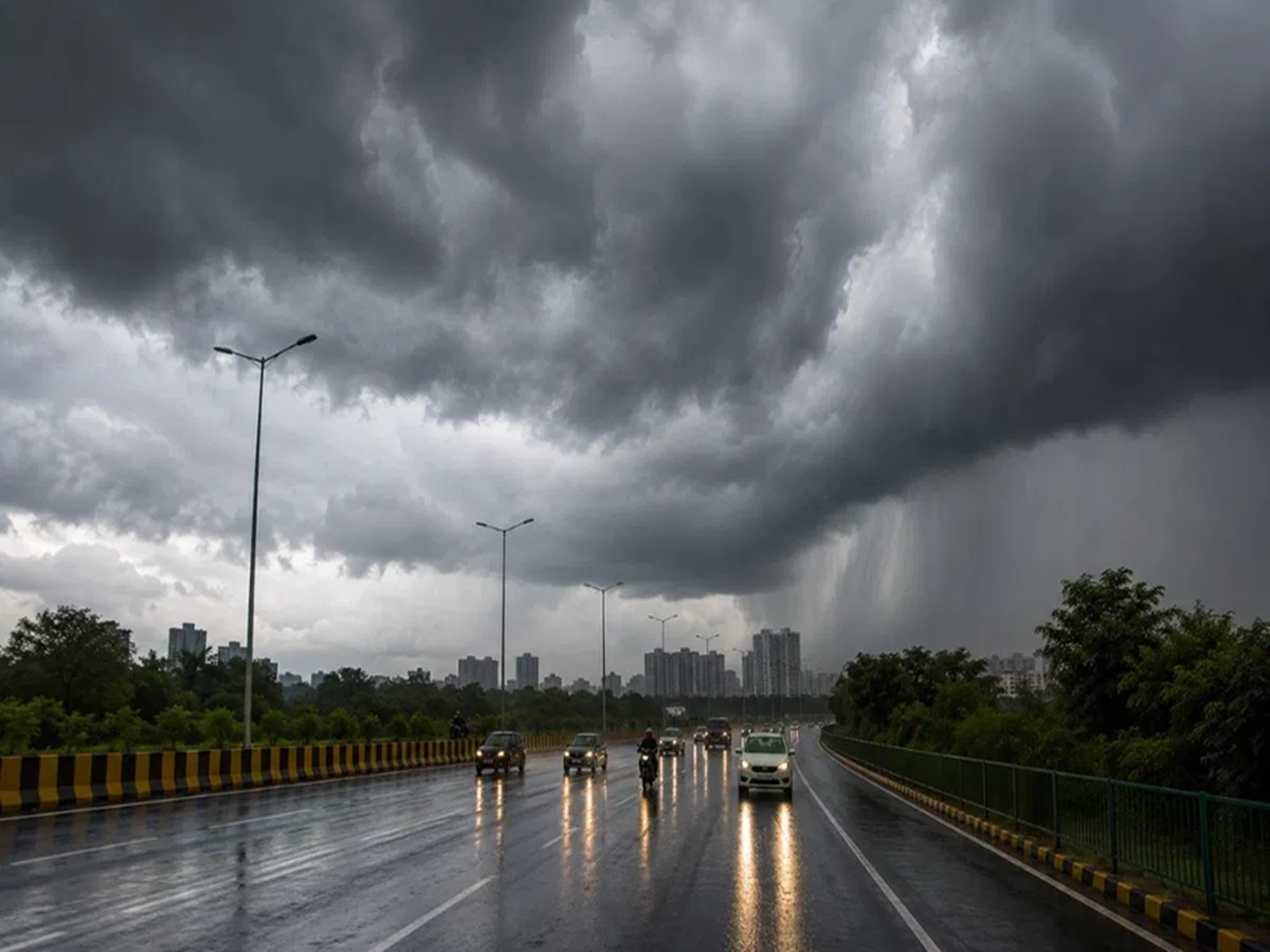
The India Meteorological Department (IMD) stated that a new low-pressure area is likely to form over the North Bay of Bengal and the adjoining West Bengal coast around August 13. Under its influence, rainfall activity is expected to intensify in West Bengal, Odisha, Jharkhand, Chhattisgarh, and Bihar starting August 13, potentially triggering a fresh spell of heavy rain in these states. The weather in Delhi-NCR will remain more or less stable, with a likelihood of light to very light rain.
According to the Meteorological Department, very heavy rainfall was recorded in Uttarakhand, Madhya Pradesh, Chhattisgarh, and Odisha over the past 24 hours, with these regions receiving between 12 and 20 cm of rain. Additionally, heavy rainfall ranging from 7 to 11 cm was recorded in East Rajasthan, West Bengal, Bihar, Madhya Maharashtra, Assam, Kerala, and South Karnataka. The IMD noted that the western end of the monsoon trough remains near its normal position at sea level, while its eastern end lies south of its normal position. The low-pressure area that had formed over the Gangetic West Bengal plains and adjoining North Odisha has now shifted over northeastern Madhya Pradesh and adjoining Chhattisgarh.
Where and when it will rain
The Meteorological Department stated that a new cyclonic circulation is likely to develop near the North Bay of Bengal and the adjoining West Bengal-Bangladesh coast around August 11. Subsequently, a low-pressure area is expected to form in the same region around August 13. Widespread rainfall is likely across Himachal Pradesh, Jammu & Kashmir, Ladakh, and Uttarakhand until August 15. During this period, there is also a possibility of thunderstorms accompanied by lightning in isolated areas of Uttarakhand. Very heavy rainfall is likely at isolated places in Uttarakhand on August 10, and in Himachal Pradesh and East Rajasthan on August 10–11. Rain is expected in Punjab on August 10–11 and 13–14, and in Haryana, Chandigarh, and Delhi on August 10–11 and 13. Widespread rainfall is likely in East Uttar Pradesh during August 13–14.
**Maximum impact in Central India over the next two days**
Rainfall is likely at many places in East and West Madhya Pradesh and Vidarbha until August 11. A spell of active rainfall is expected in Chhattisgarh on August 10 and again during August 13–15. Isolated very heavy rainfall is likely in Chhattisgarh, East Madhya Pradesh, and Vidarbha. Heavy rainfall may also occur in West Madhya Pradesh on August 9–10 and August 11.
**Rainfall to increase in Eastern and Northeastern states as well**
Widespread rainfall is expected in West Bengal and Jharkhand until August 15. Rainfall activity may intensify in Odisha on August 10 and during August 13–15. Widespread rainfall is likely in Bihar during August 13–15. The impact of heavy rainfall may increase after August 13 in West Bengal, Jharkhand, Bihar, and Odisha. Rainfall is also likely to continue in the Northeastern states, including Arunachal Pradesh, Assam, Meghalaya, Nagaland, Manipur, Mizoram, and Tripura. Thunderstorms and lightning are likely in several states until August 13. Very heavy rainfall may also occur at some places in Arunachal Pradesh, Assam, and Nagaland.
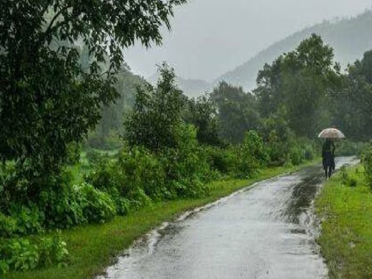
**Monsoon active in South and West as well**
Widespread rainfall is expected in Konkan and Goa until August 15. Rainfall activity will also continue in Madhya Maharashtra and Marathwada. Widespread rainfall is likely in the Gujarat region during August 10–12, with heavy rainfall expected at some places on August 11. In South India, widespread rainfall is likely in Coastal Karnataka, Kerala, and Mahe until August 15. Heavy rainfall is likely at isolated places over coastal Karnataka, Kerala, and south interior Karnataka. Thunderstorms accompanied by lightning and strong winds are expected in Kerala, Mahe, Lakshadweep, and Tamil Nadu on August 10. Wind speeds in these regions could reach 40–50 kmph, gusting up to 60 kmph. The Meteorological Department has also warned of rough sea conditions in parts of the Arabian Sea and the Bay of Bengal; consequently, fishermen have been advised to avoid venturing into these areas.
PC Social Media